Sensors signal city’s progress in improving air quality

Sensors measuring Canterbury’s air quality in real time have been installed around the city.
Designed to help people understand the risks they face from pollution, the Canterbury City Council project has been paid for by the Department for the Environment, Farming and Rural Affairs (Defra) and forms part of a wider initiative with the Kent and Medway Air Quality Partnership.
Sensors have been installed in Canterbury’s Air Quality Management Area (AQMA), which covers the city’s congestion hotspots, measuring harmful gases produced by petrol and diesel vehicles such as nitrogen dioxide and particulates PM 2.5 and PM 10.
These can come from the tyres and brake dust from vehicles, smoke from fires and dust.
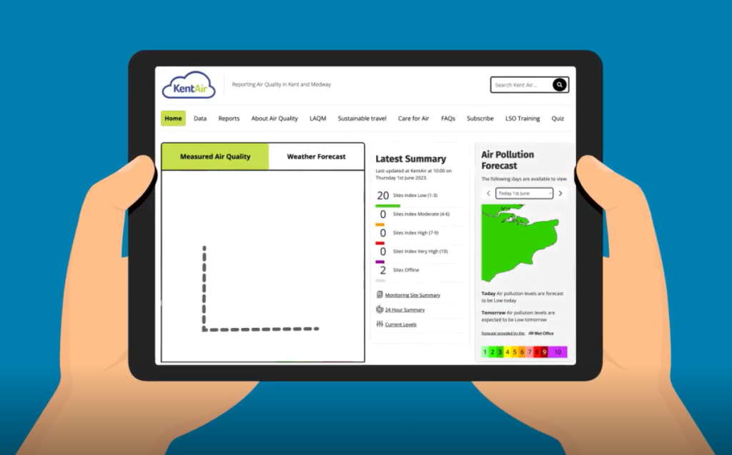
The public can access this data in map-form on the Kent Air website, with each sensor displaying the current pollution level according to an index between one and ten, which is divided into four bands: low, moderate, high or very high.
They can then use the Daily Air Quality Index (DAQI) to decide whether they need to take a different route to school, work or for other day-to-day activities.

The sensors will also help track longer-term trends in air quality to help better understand local air quality issues.
The sensors have been installed in:
- St Dunstan’s Street
- Military Road, close to the primary school
- Broad Street
- New Dover Road
- Wincheap
A second sensor in Wincheap is due to come online soon.
Cllr Mel Dawkins, Canterbury City Council’s Cabinet Member for the Environment and Climate Change, said: “It may be a cliche, but knowledge really is power.
“The more people understand the pollution risks they face, the more they can do to either avoid them or work together to tackle them.
“The district’s air quality is improving and our latest Air Quality Action Plan, which I will ask Cabinet to approve in the coming weeks, is designed to keep up the momentum and build on the successes we have had so far.”
Published: 21 November 2024