Canterbury District Local Plan to 2045
We have prepared a draft new Local Plan called the Canterbury District Local Plan To 2045 and this consultation asked people for their views.
It closed on Monday 16 January and the link to the consultation survey has been removed, but the supporting information is staying on this page given the level of interest there has been.
The Canterbury District Local Plan to 2045
We have used the feedback received from our issues consultation in 2020 and options consultation in 2021 to help shape the draft plan.
Once approved by a government-appointed Planning Inspector, and formally adopted by the council, the Canterbury District Local Plan To 2045 will form Canterbury City Council’s official planning blueprint for the next 23 years.
It allocates land for new homes, jobs, new schools, a new hospital and community uses as well as imposing rules designed to dictate the quality and density of developments, boost biodiversity, protect valued open spaces over the long term and to ensure any new development minimises its contribution to climate change while also mitigating against its effects.
Why do we need a Local Plan?
Local planning authorities like Canterbury City Council are required by the government to provide a long-term Local Plan that sets how it will meet the district’s needs into the future.
The government dictates that Local Plans need to be reviewed every five years and has set a deadline for the end of 2023 for the district’s next plan to be in place.
Not having a Local Plan does not mean development cannot take place.
In fact, without a plan, our planners and councillors on the Planning Committee will find they are unable to resist unacceptable developments – maybe because they are in the wrong locations or come without important infrastructure – or, if they refuse them, that their decisions will be overturned on appeal by a Planning Inspector.
Failure to adopt a Local Plan could mean central government steps in to write one for the council including the policies for where growth happens. They will dictate the quality of new development.
A number of complex factors have to be taken into account when formulating a Local Plan including the need to demonstrate that it will deliver the number of homes the government decides the district needs using a calculation known as the standard methodology.
The number of houses the government requires to be built in the district each year has grown by more than 50% in recent years.
When pulling together a Local Plan, officers must ensure the process follows the appropriate legislation, there is the expert evidence to justify a particular decision, the views of key and statutory stakeholders such as Kent County Council, as the lead authority on issues such as transport and education, and the views of the public have been taken into consideration.
How we’ve used your feedback to shape the draft plan
In 2020, we asked you to tell us about the issues affecting you and your local area. Using these issues, we drafted a set of options for different policies with our future Local Plan in mind.
In 2021, we consulted you on these options. We gave you the opportunity to comment on which of the options you thought were more appropriate and why.
These issues and options consultations were the beginning of the process of drawing up a new Local Plan for the district.
The purpose of both of these consultations was to identify the key planning issues and opportunities the new Local Plan should address. The feedback received from you has helped us shape our draft Local Plan and influence the next stages.
Our Consultation and Engagement Topic Paper contains the responses to both the issues and options consultations, and the links to the responses can be found in the appendices.
What are the main proposals in the draft plan?
We have highlighted the main proposals below, but we strongly recommend you read the full draft Local Plan.
You can also view all the proposals on our interactive map – this can sometimes take a little while to load, so please be patient.
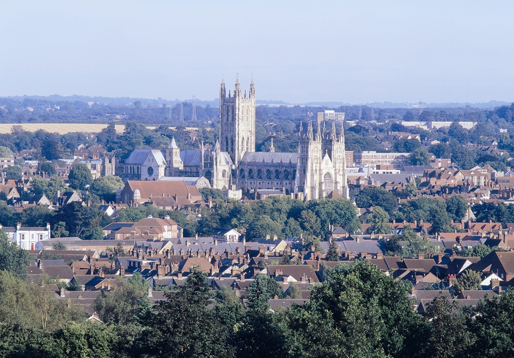
Canterbury
South West Canterbury
- around 2,941 new homes, including a minimum of 30% affordable homes
- at least 282 units of accommodation for older people
- 55 hectares of publicly accessible open space
- at least 8,000 square metres of employment floorspace
- two new primary schools
- new healthcare facilities
- new sports facilities
- the provision of the South West Canterbury Link Road with a new A2 junction and connections to A28 at Thanington
- a new Park and Ride site with 500 spaces
East Canterbury
- around 2,177 new homes, including a minimum of 30% affordable homes
- at least 205 units of accommodation for older people
- 40 hectares of publicly accessible open space and a wildlife country park
- at least 8,000 square metres of employment floorspace
- a new primary school
- the provision of an Eastern Movement Corridor connecting Sturry Road A28 with the A2 junction at Bridge
Herne Bay
- Land to the west of Thornden Wood Road
- a new secondary school with sixth form
- around 150 new homes, including a minimum of 30% affordable homes
- a variety of new open space
Whitstable
South Whitstable
- around 1,690 new homes, including a minimum of 30% affordable homes
- at least 130 units of accommodation for older people
- over 31 hectares of publicly accessible open space
- at least 4,000 square metres of employment floorspace
- a new primary school
- a new special educational needs school
- new sports facilities
- a new Park and Bus site with 200 spaces
- improvements to roads, including new east facing only junctions to the A299 (New Thanet Way) and local highway improvements
Bodkin Farm
- a new secondary school with sixth form
- around 250 new homes, with a minimum of 30% affordable homes
- a variety of new open space
Rural villages
Cooting Farm Garden Community, Adisham
- a new garden community with around 3,200 new homes, including a minimum of 30% affordable homes
- at least 320 units of accommodation for older people
- two community hubs
- two new primary schools
- a variety of publicly accessible open spaces
- over 30 hectares of natural and semi-natural green space
- over 17 hectares of amenity green space
- over 6 hectares of outdoor sports
- over 6 hectares of parks and gardens
- over 4 hectares of new play facilities
- 114 allotments
Blean, Bridge, Chartham, Hersden, Littlebourne and Sturry
- new housing development will be supported where it is either allocated for development, in an adopted Neighbourhood Plan or through the policies of the 2017 Local Plan
Another key part of the draft Local Plan is the transport proposals, including the Canterbury Circulation Plan. You can read the Transport Topic Paper on our website for more details.
This folder includes all the supporting evidence.
What happens next?
This consultation closed on Monday 16 January 2023.
We will carefully analyse all the responses we receive, and they will be reported to councillors who will decide what changes should be made to the draft Local Plan as a result.
Later in 2023, we will publish the final draft Local Plan and you will be able to make further comments before the plan is submitted to be examined by the planning inspector.
Published: 24 October 2022